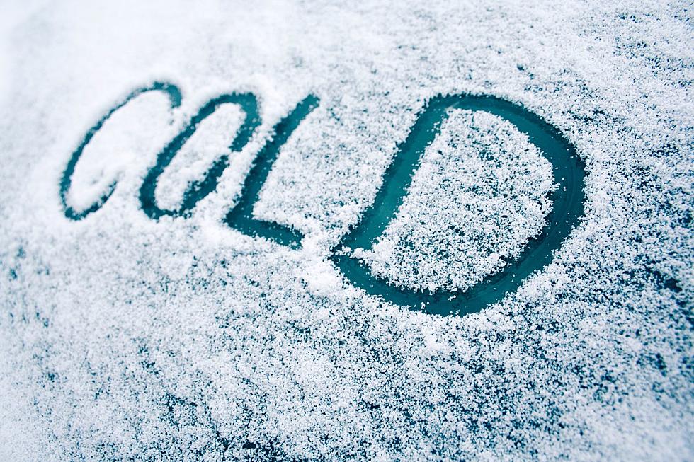
Southeast Wyoming residents can expect a cold front to hit the area on Thursday morning, leading to single digit temperatures in many areas by the afternoon hours and sub-zero lows/ and/or wind chills by Thursday night.

That's according to the Cheyenne Office of the National Weather Service. The agency posted the following on its website

 Don’t expect similar conditions when you leave work and school Thursday afternoon than when you arrive! A cold front will pass through the area mid-morning Thursday with the return of much colder temperatures Most areas along and east of the Laramie Range will see afternoon temperatures in the low teens and single digits eventually dropping below zero once again Thursday night. Additionally, snow showers will develop behind the cold front that could lead to reductions in visibility with brief periods of heavy snowfall. Up to an inch of snowfall is possible through the afternoon. Be sure to stay up to date with the latest local forecast at weather.gov/cys

Forecasts For Cheyenne And Laramie

Cheyenne Forecast:

Thursday
A 40 percent chance of snow, mainly between 8am and 2pm. Partly sunny, with a temperature falling to around 6 by 5pm. Wind chill values between -5 and -15. Windy, with a north wind 20 to 30 mph, with gusts as high as 40 mph.
Thursday Night
Partly cloudy, with a low around 0. Wind chill values between -10 and -15. North wind 5 to 15 mph becoming west southwest after midnight.
Friday
Mostly sunny, with a high near 23. Wind chill values between -5 and -15. South southwest wind 5 to 10 mph.
Friday Night
Partly cloudy, with a low around 8. South wind around 5 mph.
Saturday
Partly sunny, with a high near 40.
Saturday Night
Mostly cloudy, with a low around 19.
Sunday
Partly sunny, with a high near 45.
Sunday Night
Mostly cloudy, with a low around 23.
Monday
Mostly sunny, with a high near 43.
Monday Night
Partly cloudy, with a low around 21.
Tuesday
Mostly sunny, with a high near 45.
Tuesday Night
Partly cloudy, with a low around 21.
Wednesday
Mostly sunny, with a high near 43.
Laramie Forecast
Thursday
Snow likely, mainly between 9am and noon. Patchy blowing snow before 2pm. Increasing clouds, with a temperature falling to around 11 by 5pm. Wind chill values between -5 and 5. Windy, with a west wind 25 to 30 mph becoming north 15 to 20 mph in the afternoon. Winds could gust as high as 45 mph. Chance of precipitation is 60%. New snow accumulation of less than one inch possible.
Thursday Night
Mostly cloudy, with a low around 5. Wind chill values between -5 and -10. North northwest wind 5 to 15 mph becoming west after midnight.
Friday
Mostly sunny, with a high near 28. Wind chill values between -5 and 5. South southwest wind around 5 mph.
Friday Night
Partly cloudy, with a low around 11. Southwest wind 5 to 10 mph.
Saturday
Partly sunny, with a high near 41.
Saturday Night
Mostly cloudy, with a low around 29. Breezy.
Sunday
Partly sunny, with a high near 40. Breezy.
Sunday Night
Mostly cloudy, with a low around 25.
Monday
Mostly sunny, with a high near 38.
Monday Night
Partly cloudy, with a low around 21.
Tuesday
Mostly sunny, with a high near 40.
Tuesday Night
Partly cloudy, with a low around 21.
Wednesday
Mostly sunny, with a high near 37.

Check Out the Sun Halos Above Cheyenne

The amazing natural phenomenon began Thursday morning. A dazzling double halo, sun dogs, and rainbows appeared in the blue skies above Cheyenne.

Gallery Credit: Phylicia Peterson, Townsquare Media Laramie/Cheyenne

More From 101.9 KING-FM