
Severe Storms, 60 MPH Winds, Hail Possible In SE Wyoming Thursday
Parts of southeast Wyoming and the Nebraska Panhandle could see some severe weather on Thursday.
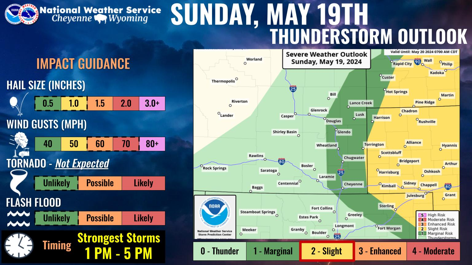
That's according to the Cheyenne Office of the National Weather Service.
The agency posted the following on its website: It's that time of the year again where we transition to the threat of showers and thunderstorms becoming potentially severe. 🌩️ Thursday will be warm, with a cold front expected to move through the area. Scattered showers and thunderstorms are forecast to develop by the afternoon, and continue through the evening hours. Make sure to have multiple ways to receive weather warnings as we anticipate the potential for an isolated severe thunderstorm to occur on Thursday.
Here is the forecast for Cheyenne and Laramie:
Cheyenne Forecast:
Today
Scattered showers and thunderstorms after noon. Mostly sunny, with a high near 70. South southwest wind 10 to 15 mph. Chance of precipitation is 40%.
Tonight
A chance of rain and thunderstorms before 9pm, then a chance of rain between 9pm and midnight. Patchy fog before 3am, then patchy fog after 4am. Otherwise, partly cloudy, with a low around 39. South southeast wind 5 to 15 mph becoming west southwest after midnight. Chance of precipitation is 20%.
Thursday
A slight chance of showers, then a chance of showers and thunderstorms after noon. Patchy fog before 7am. Otherwise, increasing clouds, with a high near 69. West southwest wind 5 to 15 mph becoming south southeast in the morning. Chance of precipitation is 50%.
Thursday Night
Showers likely and possibly a thunderstorm before midnight, then a chance of showers and thunderstorms between midnight and 3am, then a chance of showers after 3am. Mostly cloudy, with a low around 42. Breezy, with a northwest wind 10 to 20 mph, with gusts as high as 30 mph. Chance of precipitation is 60%.
Friday
Showers likely before noon, then a chance of showers and thunderstorms between noon and 3pm, then a chance of showers after 3pm. Mostly cloudy, with a high near 58. Breezy, with a northwest wind 20 to 25 mph, with gusts as high as 35 mph. Chance of precipitation is 60%.
Friday Night
Showers likely and possibly a thunderstorm. Mostly cloudy, with a low around 34. Breezy. Chance of precipitation is 60%.
Saturday
Showers, with thunderstorms also possible after noon. High near 47. Chance of precipitation is 100%.
Saturday Night
Showers. Cloudy, with a low around 31.
Sunday
Showers likely, with thunderstorms also possible after noon. Mostly cloudy, with a high near 53. Breezy.
Sunday Night
A slight chance of showers before midnight. Partly cloudy, with a low around 34. Breezy.
Monday
Mostly sunny, with a high near 62. Breezy.
Monday Night
Partly cloudy, with a low around 38. Breezy.
Tuesday
Mostly sunny, with a high near 68.
Laramie Forecast
Today
Scattered showers and thunderstorms after noon. Mostly sunny, with a high near 59. Breezy, with a west wind 10 to 20 mph. Chance of precipitation is 40%.
Tonight
A chance of showers and thunderstorms before 9pm, then a chance of rain between 9pm and midnight. Partly cloudy, with a low around 39. South southeast wind 10 to 15 mph. Chance of precipitation is 30%.
Thursday
A slight chance of showers before noon, then a chance of showers and thunderstorms between noon and 3pm, then showers likely and possibly a thunderstorm after 3pm. Increasing clouds, with a high near 57. South southwest wind 10 to 15 mph. Chance of precipitation is 60%.
Thursday Night
Rain showers likely before 4am, then a chance of rain and snow showers. Some thunder is also possible. Cloudy, with a low around 36. Windy, with a west northwest wind 15 to 20 mph increasing to 25 to 30 mph after midnight. Winds could gust as high as 45 mph. Chance of precipitation is 70%. Little or no snow accumulation expected.
Friday
Rain and snow showers likely before 2pm, then a chance of rain showers between 2pm and 4pm, then a chance of rain and snow showers after 4pm. Some thunder is also possible. Mostly cloudy, with a high near 46. Windy, with a west northwest wind 25 to 30 mph, with gusts as high as 45 mph. Chance of precipitation is 70%.
Friday Night
Rain and snow showers, becoming all snow after 5am. Some thunder is also possible. Low around 33. Breezy. Chance of precipitation is 80%.
Saturday
Snow showers. Some thunder is also possible. High near 36. Breezy. Chance of precipitation is 100%.
Saturday Night
Snow showers. Cloudy, with a low around 29. Blustery.
Sunday
Snow showers likely. Some thunder is also possible. Mostly cloudy, with a high near 40. Breezy.
Sunday Night
A slight chance of snow showers before midnight. Partly cloudy, with a low around 31. Blustery.
Monday
A slight chance of rain and snow showers. Mostly sunny, with a high near 50. Breezy.
Monday Night
Partly cloudy, with a low around 36. Breezy.
Tuesday
A slight chance of showers. Mostly sunny, with a high near 57. Breezy.
Check Out the Damages from Cheyenne's Wild Spring Wind Storm
On April 6 and 7, 2024, wild winds exceeding 90 mph blew through SE Wyoming, causing havoc in Cheyenne and on the interstate. Everything from fences to semis were upturned in the wind storm. Check out the damage shared by residents below.
Gallery Credit: Doug Randall
More From 101.9 KING-FM