NWS Cheyenne: Snow, Wind to Impact Travel Throughout the Week
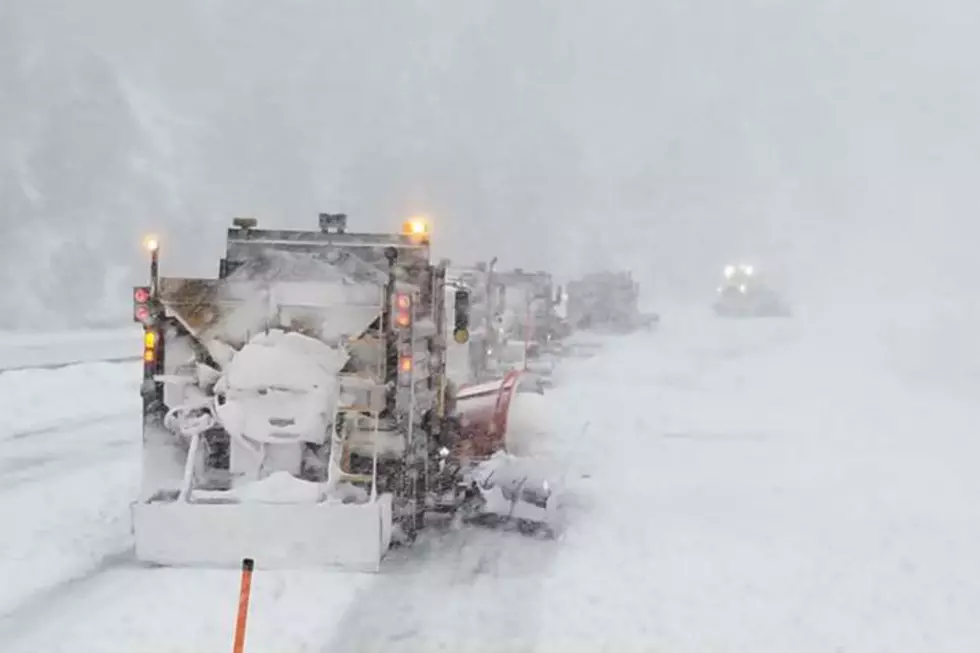
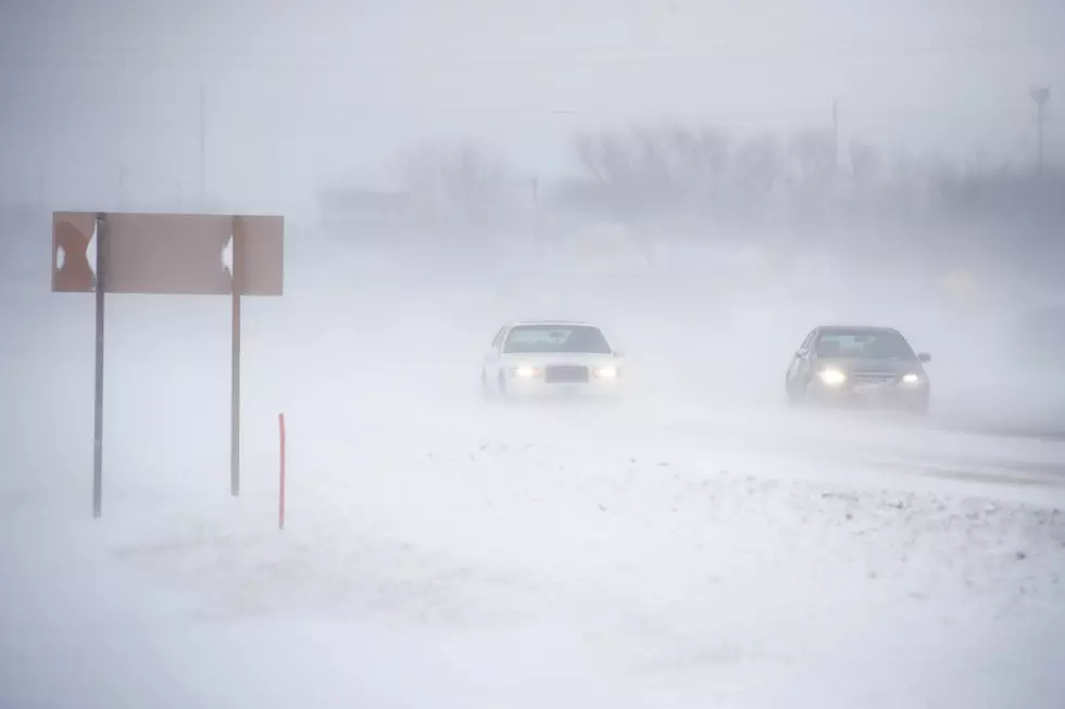
Periodic snow and strong winds will likely impact travel in southeastern Wyoming beginning on Wednesday through the weekend.
The National Weather Service in Cheyenne issued the following statement Monday afternoon:
15/130PM: Greetings! Good news and bad news for the forecast for southeast Wyoming and Nebraska Panhandle. The good news? We'll be warming up slowly through the week. Giving relief for area ranchers, who are in the middle of calving season and bringing a return to seasonal temperatures for the rest of us. The bad news? Periods of snow and wind impacting travel throughout the week. Looks like we could see fairly widespread snow along Interstate 80 from Cheyenne to Elk Mountain Wednesday that will likely increase travel impacts. Strong winds near Arlington Wednesday evening into Thursday morning likely to create areas of blowing snow and travel delays. Strong winds continue Thursday night into Friday for the wind prone areas of southeast Wyoming with travel impacts for light weight and high profile vehicles. Need to be on the lookout for Saturday as another widespread snow event is possible along with strong winds. Just about everyone expected to see accumulating snow Saturday. Finally, a widespread strong wind event possible Sunday behind Saturday's system. These strong northerly winds will likely create areas of blowing snow and travel impacts. Stay tuned!
LOOK: Video Shows Crash That Closed I-80 in Wyoming for Several Hours
UP NEXT: See how much gasoline cost the year you started driving
The Worst Storms Of The Decade In Southeast Wyoming
More From 101.9 KING-FM