NWS: Strong Winds Expected to Hang Around Through Early December
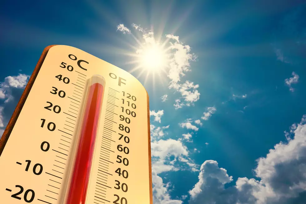
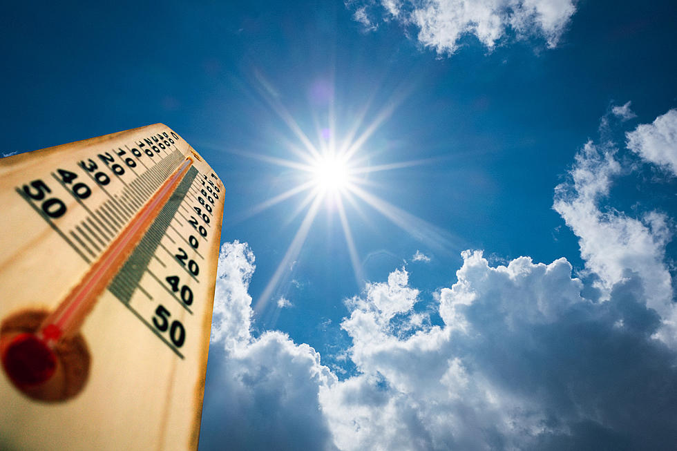
Southeast Wyoming will see little relief from the wind any time soon, as warm temperatures and dry conditions are expected to hang across the area through early December.
The National Weather Service in Cheyenne released the following temperature and precipitation outlooks from the Climate Prediction Center Wednesday night:
18/955PM: Greetings! The 6 to 10 and 8 to 14 Day Outlook from the Climate Prediction Center for today (18 November), is not very promising for any relief to our ongoing drought conditions across southeast Wyoming and Nebraska Panhandle. Looks like Above Normal Temperatures and Below Normal Precipitation hangs across the area through at least the first week of December. We do see a small window of snow Saturday, but that window is quickly closing as guidance continues to show the storm system passing north of the area. What this pattern is conducive to, are strong wind events as low pressure systems pass across Montana. Next major wind event still looks on track for the beginning of next week. Stay tuned to later updates in the forecast as we get closer to the beginning of next week.

The Worst Storms Of The Decade In Southeast Wyoming
More From 101.9 KING-FM