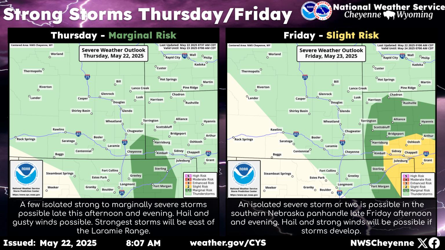
Rain, Snow Forecast For Southeast Wyoming, Some Flooding Possible
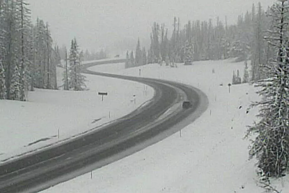
While we aren't expecting any heavy snow in the Cheyenne or Laramie areas, the Cheyenne Office of the National Weather Service is warning about some possible travel impacts at higher elevations. including the I-80 summit.
The service posted the following statement on its website on Sunday
"Greetings! Here's a look at the weather for southeast Wyoming and Nebraska Panhandle next week. An unsettled pattern continues. For Monday, we have a stalled out front that will bring fairly widespread rain and snow to the area. For southeast Wyoming, expected morning snow Monday that will give way to rain as the day progresses. Could see several inches in the mountains and over the I-80 Summit that could present some travel impacts on I-80 between Cheyenne and Laramie. An inch of snow is expected on grassy surfaces near Laramie, with Cheyenne seeing about a half inch of snow Monday morning. Another cold front moves through the area Wednesday afternoon with rain spreading south during the overnight hours into Thursday morning. Yet another cold front approaches from the west Friday for a chance of afternoon thunderstorms west and evening thunderstorms east."
More From 101.9 KING-FM