Severe Storms, Hail Possible In SE Wyoming Sunday And Monday
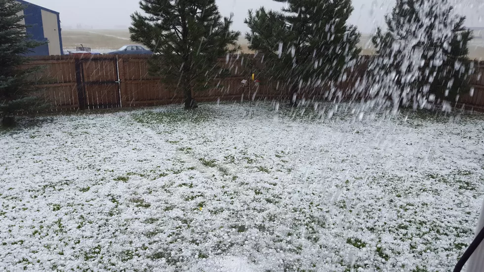
The Cheyenne Office of the National Weather Service says severe thunderstorms, including large hail, heavy rain, and strong winds is possible in parts of SE Wyoming and the Nebraska Panhandle today (Sunday, Aug.4) and again on Monday.
Cheyenne has a greater chance of severe storms on Monday than today, according to the forecast.
The agency posted this statement for Sunday:
''Greater thunderstorm coverage expected today across much of the region. Storms in east Wyoming and the Nebraska Panhandle will be capable of large hail up to half-dollar size, strong winds of 40 to 60 mph, frequent lightning, as well as brief heavy rainfall. Stay alert to rapidly changing conditions this afternoon and into the mid-evening hours. Storm activity will dissipate through the mid- to late evening hours."
The agency posted this statement for Monday:
''Isolated to scattered thunderstorms look to occur again Monday and Tuesday afternoon to mid-evening. Storms look to be strongest on Monday with localized severe storms possible. Large Hail, high winds, frequent lightning, and brief heavy rain could cause impacts Monday afternoon. Stay alert to rapidly changing conditions. Storms will be more isolated and slightly weaker Tuesday but lightning and localized heavy rain could still be a hazard during the afternoon. Stay tuned Monday for more updates.''
More From 101.9 KING-FM