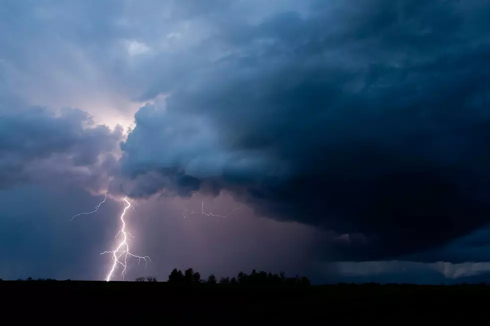
Severe Thunderstorm Watch For Cheyenne and Laramie Sunday
The National Weather Service has issued a Severe Thunderstorm Watch for parts of southeastern Wyoming and much of eastern Colorado for Sunday (August 2) until 9:00 PM. The Watch area includes the cities of Cheyenne, Wheatland, and Laramie.
"Scattered severe thunderstorms will develop and move southeast across the watch area this afternoon and evening. Large hail and damaging wind gusts can be expected." - NWS
   URGENT - IMMEDIATE BROADCAST REQUESTED
   Severe Thunderstorm Watch Number 411
   NWS Storm Prediction Center Norman OK
   155 PM MDT Sun Aug 2 2020

   The NWS Storm Prediction Center has issued a

   * Severe Thunderstorm Watch for portions of
     Front Range of Colorado
     Extreme southeast Wyoming

   * Effective this Sunday afternoon and evening from 155 PM until
     900 PM MDT.

   * Primary threats include...
     Scattered large hail and isolated very large hail events to 2
       inches in diameter possible
     Scattered damaging wind gusts to 70 mph possible

   SUMMARY...Scattered severe thunderstorms will develop and move
   southeast across the watch area this afternoon and evening.  Large
   hail and damaging wind gusts can be expected.

   The severe thunderstorm watch area is approximately along and 60
   statute miles east and west of a line from 25 miles northeast of
   Laramie WY to 15 miles south southeast of Trinidad CO. For a
   complete depiction of the watch see the associated watch outline
   update (WOUS64 KWNS WOU1).

   PRECAUTIONARY/PREPAREDNESS ACTIONS...

   REMEMBER...A Severe Thunderstorm Watch means conditions are
   favorable for severe thunderstorms in and close to the watch area.
   Persons in these areas should be on the lookout for threatening
   weather conditions and listen for later statements and possible
   warnings. Severe thunderstorms can and occasionally do produce
   tornadoes.

Enter your number to get our free mobile app
More From 101.9 KING-FM