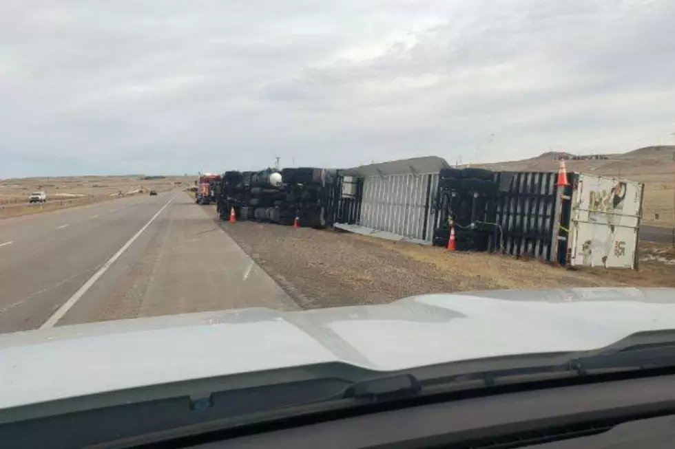
Southeast Wyoming in for Another Round of 80+ MPH Winds
Portions of southeast Wyoming could see wind gusts in excess of 80 mph starting Tuesday evening, as another round of hurricane-force winds is expected to slam the area.
The National Weather Service in Cheyenne issued the following statement Monday afternoon:
weather.gov/cys/
We don't like seeing these winds anymore than you, but it looks like we have a widespread wind event coming up. It will start around 5 PM Tuesday and last until around 11 AM Thursday. Wind gusts could get up to 65 MPH+ across SE WY and the NE Panhandle, with 80 MPH+ in the wind-prone areas. Look at the headlines for more details. At the end of the week, a system is set to move through SE WY and the NE Panhandle bringing scattered light snow showers.

Enter your number to get our free mobile app
The Worst Storms Of The Decade In Southeast Wyoming
More From 101.9 KING-FM

