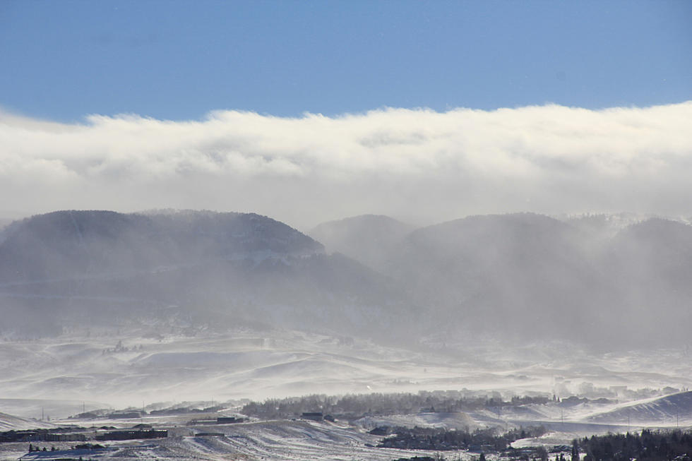
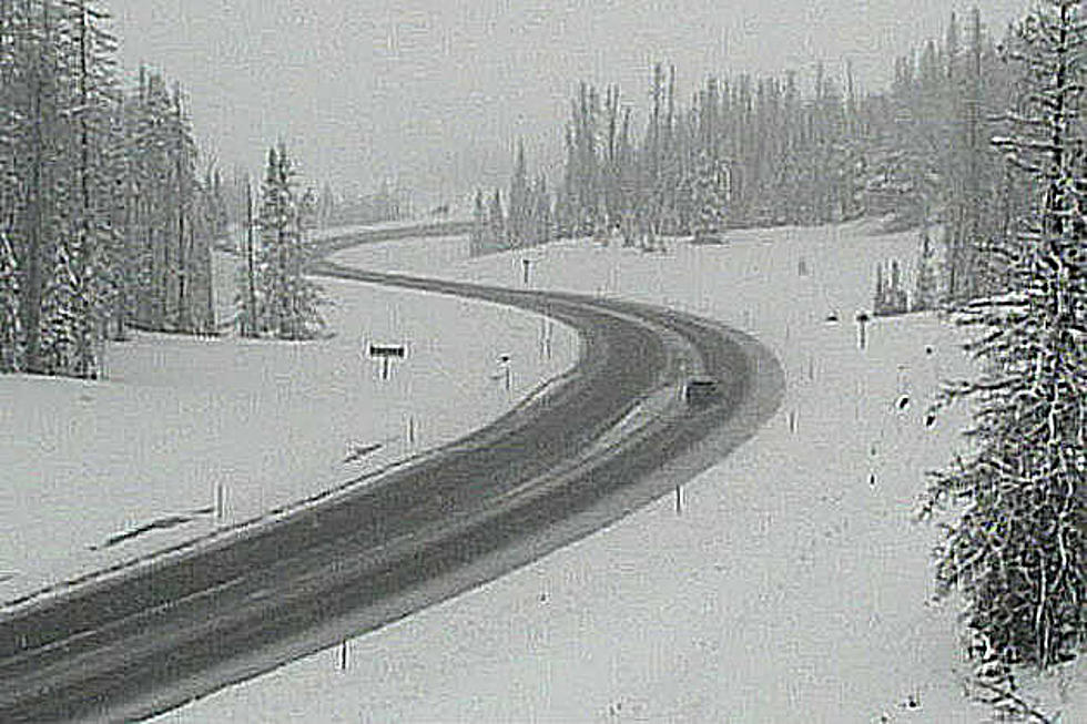
While the Cheyenne Office of the National Weather Service says today and tomorrow should feature warm, pleasant weather across southeast Wyoming, cold weather and snow are likely headed our way later in the week.
The agency posted the following on its website:
Big weather changes coming this week...
Southeast Wyoming residents may experience their first fall freeze of the fall season this week.
That's according to the Cheyenne Office of the National Weather Service. The agency posted the following on its website:
October 4th Morning Update: Cooler than average temperatures expected through the end of the week as another cold front moves south out of Canada late Thursday and early Friday...
Re
While Monday's weather will start out nice, the afternoon and evening hours could bring some storms featuring strong winds and hail.
That's according to the Cheyenne Office of the National Weather Service. The agency posted the following on its website:
''A cold front moving through the region tomorrow will bring breezy conditions and increasingly numerous storms during the afternoon and evening h