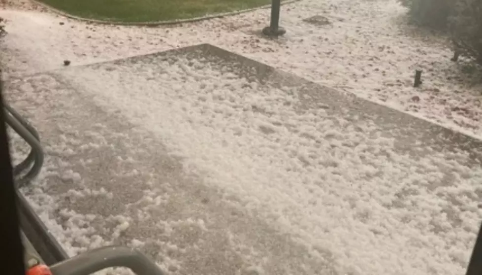
Tuesday night became pretty crazy, scary, and at times, dangerous, around southeast Wyoming with a hail storm that came through in didn't let up for a few hours. Not only was there plenty of hail that would lead to flash flooding that made for unsafe driving conditions in spots, and also power outages throughout parts of Cheyenne.
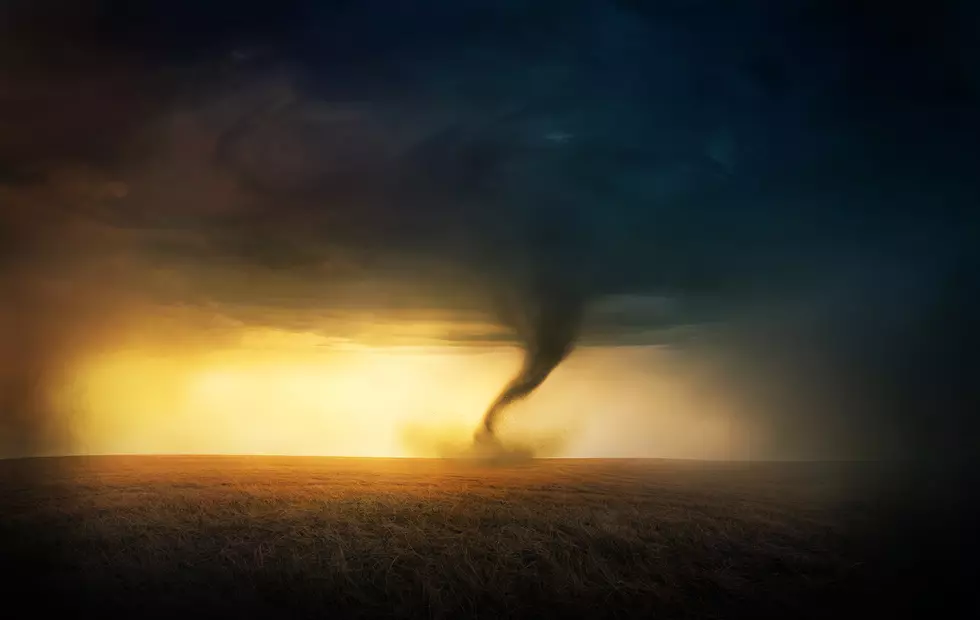
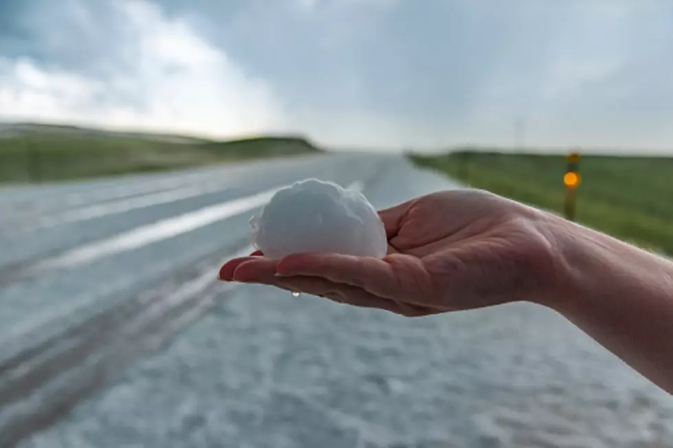
The latest update says golf ball size hail, rather than tennis ball size, is possible. But the area possibly at risk for a tornado has been extended further into southeast Wyoming.
Areas of southeast Wyoming could see hail and damaging winds late Thursday afternoon and evening, as strong to severe thunderstorms roll through the region.
If you're new to Wyoming, be aware that our skies are rarely dull. There are several new video shares (and a few classics) that show supercell storms in different parts of Wyoming.