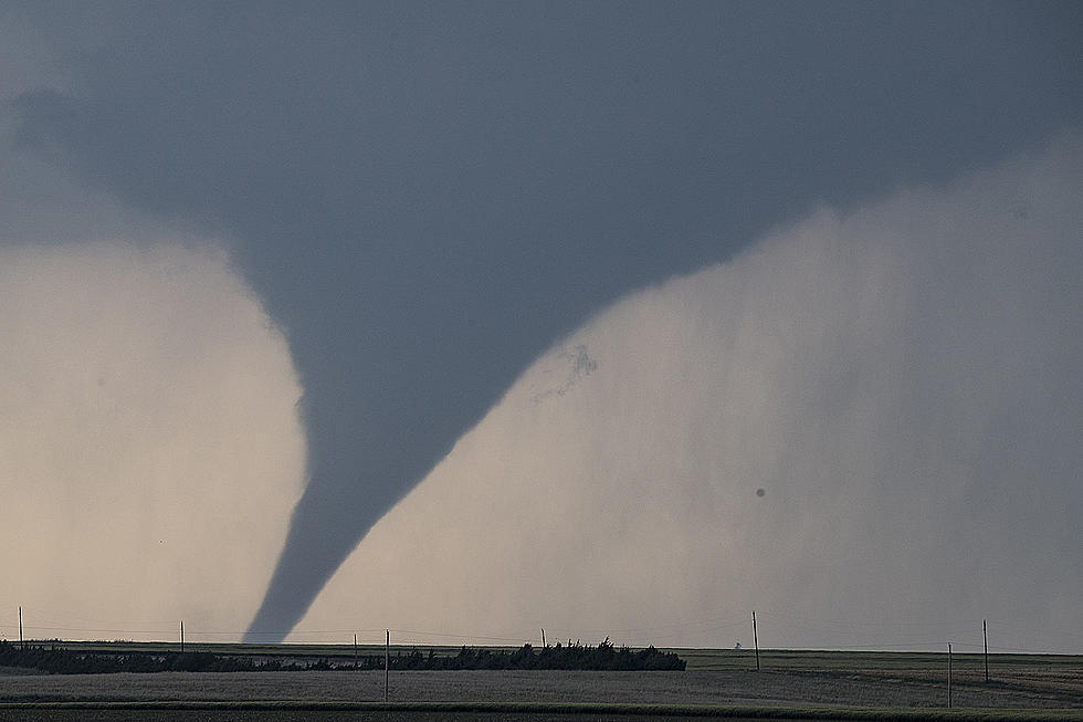
Baseball Size Hail, Tornadoes Possible In SE Wyoming Sunday
The Cheyenne Office of the National Weather Service is warning about the possibility of very large hail, flash flooding and possibly a few tornadoes in southeast Wyoming and the Nebraska Panhandles on Sunday afternoon.
The agency posted this statement of its website on Sunday:
Chances for severe thunderstorms this afternoon have been expanded to cover the entire Nebraska Panhandle, up into Niobrara County (Lusk, Manville, Lance Creek and Redbird) this afternoon and early evening. Very large hail, up to baseball size are possible by mid-afternoon. Storms expected to initially form along the Laramie Range and move into the I-25 Corridor in southeast Wyoming around 2-3 PM. They then are expected to move east into the Nebraska Panhandle after 4-5PM. While hail is the primary hazard, folks in the highlighted area may see very heavy rainfall, leading to flash flooding as well as a few tornadoes. Everyone needs to keep an eye on the sky today. Have a way to receive any future warnings with you through the day. Have a safety plan in place should severe storms threaten, and place your vehicles under shelter. Stay tuned to later updates.
More From 101.9 KING-FM