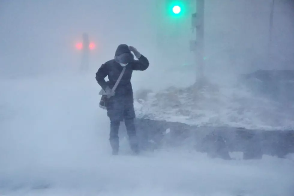
Heavy Snow, Record Low Temperatures In SE Wyoming Forecast
A winter storm warning has been issued for southeast Wyoming, with several more inches of snow and a high temperature only in the single digits on the forecast for the Cheyenne area.
That's according to the Cheyenne Office of the National Weather Service. The agency posted this statement on Sunday morning:
Additional areas across southeast Wyoming and the Nebraska Panhandle have been upgraded to Winter Storm Warnings early this morning including Cheyenne and Scottsbluff as heavy snowfall continues across the area. Reduced visibility, slick to snow cover roads, and frigid temperatures are the main hazards so far and are expected to persist through much of the day. Stay home if you don’t need to go out, but in case of an emergency be sure to check wyoroad.info or 511.nebraska.gov for the latest road conditions."
As snow continues to fall across much of southeast Wyoming and the Nebraska Panhandle, frigid temperatures will continue to sit over the area. Sunday afternoon high temperatures may only remain in the single digits along and west of the Laramie Range while spots farther east in the Nebraska Panhandle only look to rise into the upper teens. Looks like a few record lowest high temperatures are at risk of being broken today with the ongoing winter weather. As snowfall begins to dwindle down across southeast Wyoming and the Nebraska Panhandle overnight, temperatures will begin to plummet into the single digits and even below zero for many locations, especially where significant snow fell. Additionally, wind chills headed into Monday morning may approach -30F along and west of the Laramie Range. Looking ahead, Tuesday morning temperatures will be just as cold, if not colder than Monday morning across the region. For updates on the ongoing winter storm and the latest forecast, check weather.gov/cys


LOOK: Here are the best small towns to live in across America
More From 101.9 KING-FM

![[LOOK] Meet the Dinosaurs That Roamed Across Pre-Historic Wyoming](http://townsquare.media/site/98/files/2024/04/attachment-wyoming-dinosaurs.jpg?w=980&q=75)