Cheyenne Weather Service Warns of Large Hail, Possible Tornadoes
The Cheyenne Office of the National Weather Service has issued the following statement for Friday, July 27:
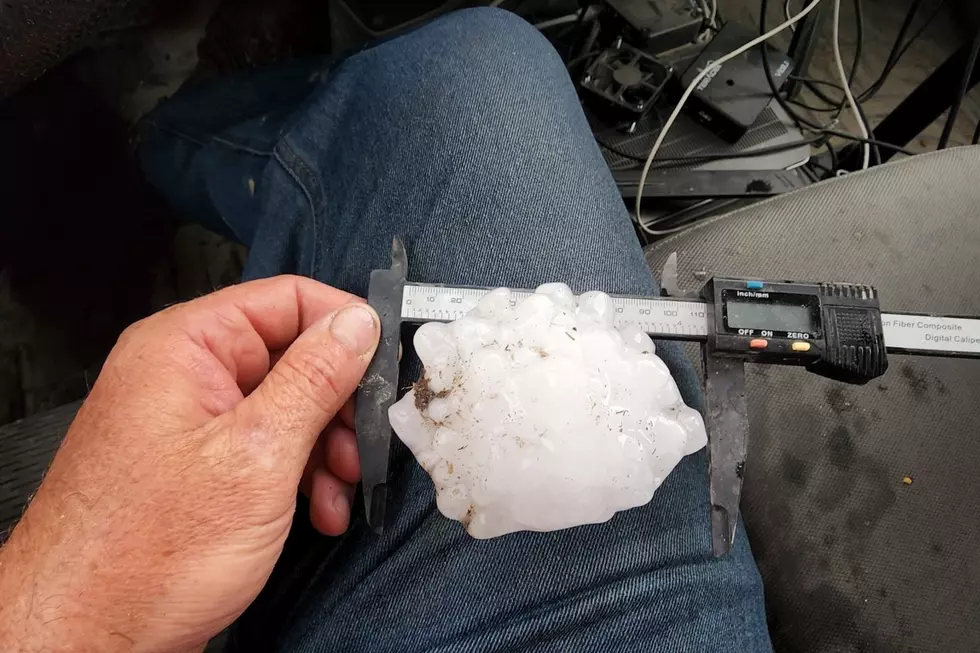
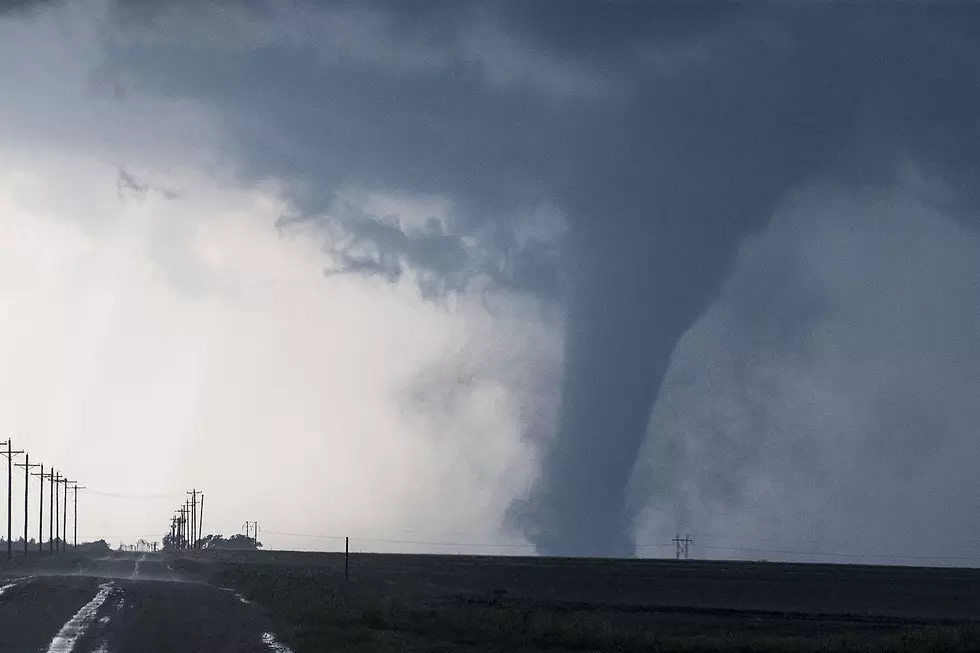
"A more widespread risk of severe thunderstorms can be expected Friday afternoon and early evening across southeast Wyoming and Nebraska Panhandle. The risk area covers a large area identified in yellow (Slight Risk) with an Enhanced Risk in the southern Nebraska Panhandle from Alliance to Scottsbluff to Kimball and points east/south. This is shaping up to be a very dangerous situation for communities highlighted in the yellow and peach colored areas Friday as very large hail (golf ball sized or larger), downburst winds in excess of 70 mph and a few tornadoes are all possible Friday afternoon and early evening. Heavy rainfall leading to an increased threat of flash flooding is also likely. Stay alert through the afternoon and early evening as storms develop and conditions change."
More From 101.9 KING-FM