

SE Wyoming Expecting Snow, Winter Weather Advisory Issued For Mountains
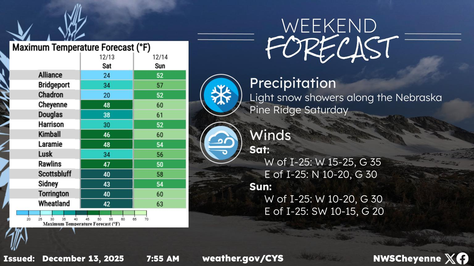
Southeast Wyoming residents can expect snow over the next couple of days ahead of a return to warm, sunny weather for the weekend.
That's according to the Cheyenne Office of the National Weather Service. The agency posted the following on its website:
This upcoming system will bring widespread precipitation to the area on Wednesday and Thursday. Scattered rain showers are expected across both southeast Wyoming and western Nebraska during the day Wednesday. Rain will begin to transition to a wintery mix/snow during the evening hours on Wednesday for areas along and west of the Laramie Range. Snow could push into the Interstate 25 corridor late Wednesday night/Thursday morning as temperatures fall. Locations above 7000 feet are most likely to see snow and possible accumulations. Snow accumulations are most uncertain along the Interstate 25 corridor. Travel could become hazardous near Arlington and the Interstate 80 summit Wednesday night into Thursday morning as snowfall accumulations are likely in these areas. Precipitation will continue Thursday morning but will begin to taper off during the afternoon hours.
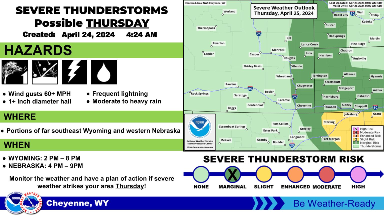
Winter Weather Advisory Expanded To Include I-80 Summit
The Winter Weather Advisory has been extended to include the Interstate 80 Summit, the northern Snowy Range Foothills (Elk Mountain), and the Sierra Madre Range starting 6 PM this evening and continuing through noon Thursday. Accumulating snow is looking more likely for these locations. Snow levels are expected to drop to around 6000 feet early Thursday morning. Increasing confidence that Rawlins, Saratoga, Laramie, and even Cheyenne see their first snow of the season. However, snow will have a hard time accumulating on the relatively warm roadways.
Precipitation Timeline
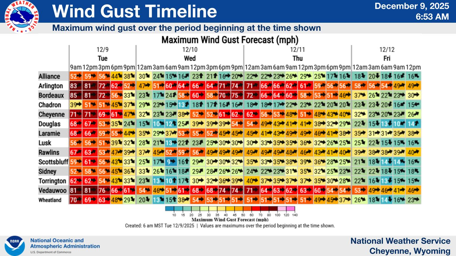
Cheyenne, Laramie Forecasts
Cheyenne Forecast
LET'S GO: 18 Old-School Halloween Things That Would Never Fly Today
Gallery Credit: Stephen Lenz