More Severe Storms, Large Hail, Possible For SE Wyoming Monday
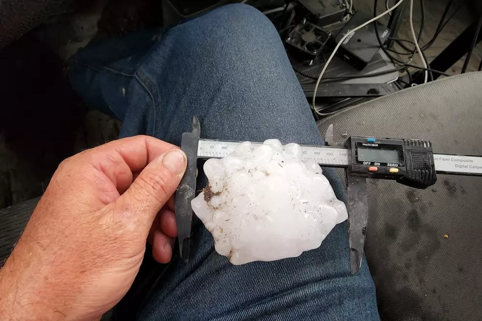
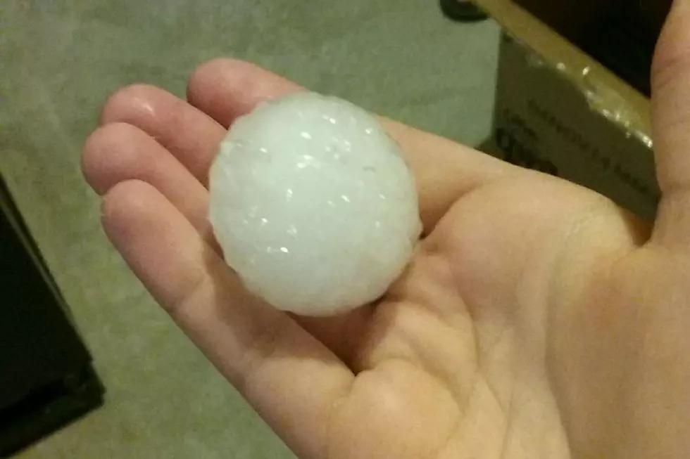
A day after severe thunderstorms and large hail pummeled much of southeast Wyoming, Forecasters with the Cheyenne Office of the National Weather Service are warning about a possible repeat performance on Memorial Day Monday.
The agency posted this statement on its website on Monday:
'Widespread thunderstorms will develop this afternoon, mainly between 3 and 9 PM MDT, across southeastern Wyoming and the Nebraska Panhandle. There is a Marginal Risk for severe storms along and just east of the South Laramie Range, and a Slight to Enhanced Risk for severe thunderstorms east of the I-25 corridor and across the majority of the Nebraska Panhandle, through this evening. The main threats will be hail up to tennis ball sized, a tornado or two, and flash flooding with the strongest storms. Storms will be slow moving today which will enhance the risk for flash flooding. If you are outdoors later on today celebrating the holiday, then give yourself plenty of time to reach sturdy shelter should thunderstorms threaten your area!"
More From 101.9 KING-FM