NWS Cheyenne: Some Areas May See Frost by Sunday Morning
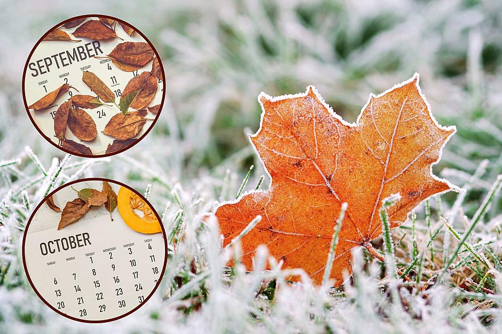
Some areas west of the Laramie Range may see frost by Sunday morning, according to the National Weather Service in Cheyenne.
The NWS says it will be hot and hazy/smoky today and hot and breezy Thursday, but a strong cold front will sweep through the area by late Thursday night, resulting in much cooler temperatures Friday through Sunday.

"It will feel like autumn outdoors, as daytime highs will struggle to get out of the 50s and 60s during this time," the agency said Wednesday morning in a Facebook post. "Morning lows will be in the 30s and 40s for the weekend."
The NWS says those planning to be outdoors this weekend will want to plan accordingly.
515 AM Wednesday 9/7 – Greetings! We will have another couple of hot days before we have a major shift in our weather regarding temperatures from Friday-Sunday. Near record to record high temperatures will continue to occur today and Thursday. Hazy/smoky conditions can be expected today from wildfires further to our west and north. Thursday will bring hot and breezy weather for most of the area, resulting in fire danger conditions for most of the region. A strong cold front will sweep through the area by late Thursday, resulting in much cooler temperatures from Friday through Sunday. Morning lows will be in the 30s and 40s for the weekend, with patchy frost being possible for areas west of the Laramie Range by Sunday morning. For more details, visit: weather.gov/CYS
READ MORE:
LOOK: The most extreme temperatures in the history of every state
Gallery Credit: Anuradha Varanasi
More From 101.9 KING-FM


