Above-average temperatures are set to return to southeast Wyoming and the Nebraska Panhandle by week's end, the National Weather Service in Cheyenne says.
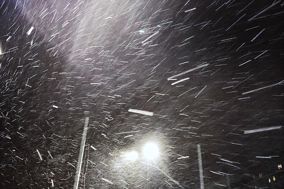
Blizzard Warnings are in effect through 6 p.m. Tuesday for portions of southeast Wyoming and the northern Nebraska Panhandle, where up to two feet of snow could fall.
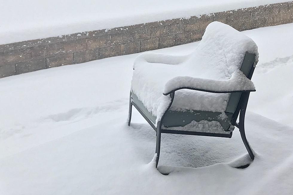
Most of southeast Wyoming and the Nebraska Panhandle can expect to see moderate to heavy snow early next week, as a potent winter storm is forecast to wallop the region.
Snow combined with winds gusting as high as 60 mph will make travel very difficult to impossible across parts of southeast Wyoming tonight, the National Weather Service in Cheyenne says.
Multiple rounds of moderate to heavy snow are expected to impact mountain travel in southeast Wyoming over the next few days, the National Weather Service in Cheyenne says.