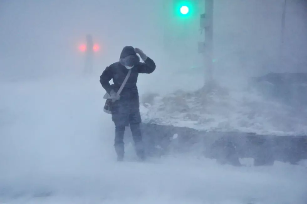
Blizzard Conditions Possible In Cheyenne Thursday
The Cheyenne Office of the National Weather Service is warning about the possibility of six inches or more of snow, strong gusty winds, and possibly even some blizzard conditions in the Cheyenne area and SE Wyoming on Thursday.
A winter storm watch has been issued, but officials with the agency say the exact snowfall totals for various locations remained unknown at last report. The agency sent out this situation report in a Monday night email:
- Winter Storm Watch for all highlighted areas 12AM Thursday- 6AM Friday. The Winter Storm Watch starts earlier, at 6pm Wednesday evening, for areas east of Laramie Range to WY/NE state line. Sierra Madre/Snowy Mtns has the Winter Storm Watch starting at 3PM Wednesday.
- Heavy, wet snow of 8 -15 inches is possible east of Laramie Range in SE WY, 6 - 9 inches of heavy, wet snow is possible in the western Nebraska Panhandle counties.
- Wind gusts higher than 35mph are possible creating potential blizzard conditions and reduced visibility, especially along I-25 and I-80.
- The combination of heavy wet snow and strong winds may create power outages.

More From 101.9 KING-FM
![[LOOK] Meet the Dinosaurs That Roamed Across Pre-Historic Wyoming](http://townsquare.media/site/98/files/2024/04/attachment-wyoming-dinosaurs.jpg?w=980&q=75)