Light Snow to Impact Southeast Wyoming Tonight and Friday
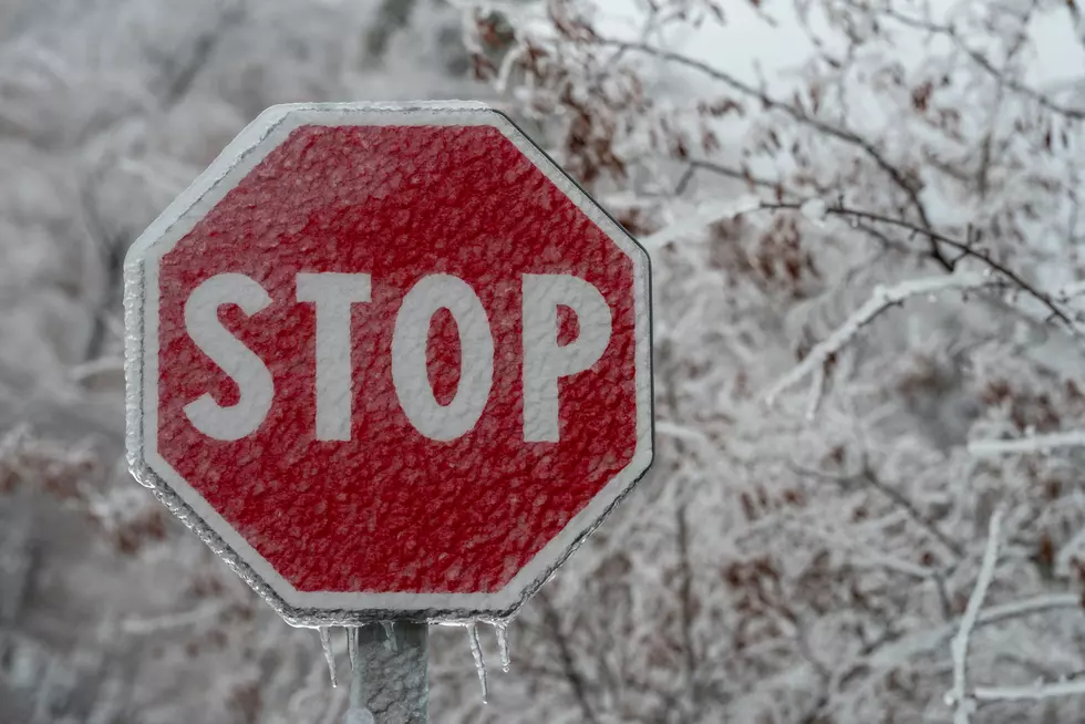
Parts of southeast Wyoming could see an inch of snow tonight and Friday, making for slick roads and periods of reduced visibility.
The National Weather Service in Cheyenne issued the following statement Thursday morning:
600 AM MST Thursday, December 10 – A strong cold front passed through southeast Wyoming and the western Nebraska Panhandle early this morning. As a result, it has already turned considerably colder with highs not expected to get out of the 30s for most areas today. Some flurries will be possible today, with more persistent light snow expected to develop this evening and overnight. Periods of snow will persist through Friday. Some minor accumulations are possible, with the greatest chances for at least one inch generally along and just east of the Laramie Range. Those with travel plans tonight and Friday should be prepared for the possibility of slick road conditions and reduced visibilities at times. Know before you go! For road information, dial 511 or visit wyoroad.info (WY) or 511.nebraka.gov (NE).

The Worst Storms Of The Decade In Southeast Wyoming
More From 101.9 KING-FM