New Pics of Wyoming from Space Show 2020’s Wildfires
If you think Wyoming is a looker from the ground, you should see us from space. Recent pics show our state from miles above the earth and include viewpoints we've never seen of last year's wildfires.
NASA regularly updates their database with snapshots of Earth taken by astronauts aboard the International Space Station. I have browsed through their recent uploads and found some jaw-dropping pics of Wyoming in their collection. Here are some favorites.
Pics of Wyoming Taken from the International Space Station
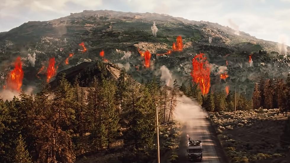
It's hard to appreciate the scope of these images when you're at ground level where most of us live our lives. A great example is the pic of the plume of wildfire smoke seen in one of the images. I believe that's the Pilgrim Creek wildfire from the summer of 2020 which burnt over 260 acres.
NASA makes multitudes of pictures available as a courtesy of the International Space Station. It's their Earth Science and Remote Sensing Unit and they do a great job of constantly sharing images of what they see as they orbit the Earth. Their official website says that they work with the USGS to capture specific images that may relate to dynamic events and that definitely includes wildfires and other Wyoming natural happenings.
You can find your own pics by searching the NASA astronaut pic database any time you want. Their tool will quite literally allow you to look up any place on Earth as seen by astronauts.

10 Reasons NOT to Move to Wyoming
More From 101.9 KING-FM