NWS Cheyenne: Relief From Critical Fire Weather in Sight
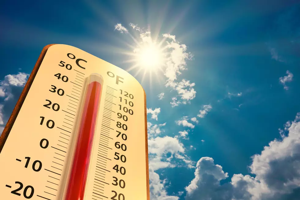
Very warm, extremely dry and breezy conditions are expected across southeast Wyoming today and Wednesday, but some relief is in sight.
The National Weather Service in Cheyenne says a slow-moving low-pressure system will move through the area, bringing fairly widespread chances for rain showers and cooler temperatures Thursday and Friday.
"Many areas are going to see much needed rainfall these days, that will ease fire weather conditions, at least temporarily," the agency posted on its website early Tuesday morning.

22/315AM: Greetings! We have good news and bad news when it comes to the weather across southeast Wyoming and Nebraska Panhandle the rest of the week. Starting off with the bad news, very warm, extremely dry and breezy conditions are expected today and Wednesday across the area. This will lead to elevated and critical fire weather conditions across many areas. Red Flag Warnings are in effect for the Sierra Madres, Snowies and south Laramie Ranges today. A Fire Weather Watch remains in effect for the entire Larmie Range, Converse County as well as the Sierra Madre and Snowy Ranges for Wednesday. Please avoid outdoor burning today and Wednesday. Now the good news, as some relief is in sight. A slow moving low pressure system will move through the area, bringing fairly widespread chances for rain showers and cooler temperatures Thursday and Friday. Many areas are going to see much needed rainfall these days, that will ease fire weather conditions, at least temporarily.
A Red Flag Warning remains in effect for the Sierra Madre, Snowy and South Laramie Ranges until 8 p.m. this evening.
URGENT - FIRE WEATHER MESSAGE
National Weather Service Cheyenne WY
1252 PM MDT Tue Jun 22 2021

...VERY WARM AND DRY TODAY AND WEDNESDAY. FIRE WEATHER WATCHES
AND RED FLAG WARNINGS ARE IN EFFECT FOR SOUTHEAST WYOMING FIRE
WEATHER ZONES WHERE FUELS ARE REPORTED READY...

WYZ305-307-309-230300-
/O.CON.KCYS.FW.W.0010.000000T0000Z-210623T0200Z/
/O.CON.KCYS.FW.A.0008.210623T1700Z-210624T0200Z/
Sierra Madre Range/Medicine Bow NF-Snowy Range/Medicine Bow NF-
South Laramie Range/Medicine Bow NF-
1252 PM MDT Tue Jun 22 2021

...RED FLAG WARNING REMAINS IN EFFECT UNTIL 8 PM MDT THIS
EVENING...

...FIRE WEATHER WATCH REMAINS IN EFFECT FROM WEDNESDAY MORNING
THROUGH WEDNESDAY EVENING FOR LOW HUMIDITY AND GUSTY WINDS...

* AFFECTED AREA...Fire weather zones 305...307 and 309.

* WIND...West winds of 20 to 25 mph sustained with gusts of 35
  to 40 mph this afternoon. Similar winds are expected
  Wednesday.

* HUMIDITY...Afternoon humidity 10 to 16 percent.

* HAINES...5 to 6.

* IMPACTS...any fires that develop will likely spread rapidly.
  Outdoor burning is strongly discouraged.

PRECAUTIONARY/PREPAREDNESS ACTIONS...

A Red Flag Warning means that critical fire weather conditions
are either occurring now....or will shortly. A combination of
strong winds...low relative humidity...and warm temperatures can
contribute to extreme fire behavior.

A Fire Weather Watch means that critical fire weather conditions
may develop. Listen for later forecasts and possible Red Flag
Warnings.
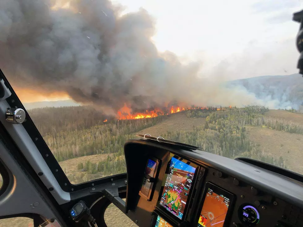
4 Of Wyoming's Worst Wildfires
More From 101.9 KING-FM