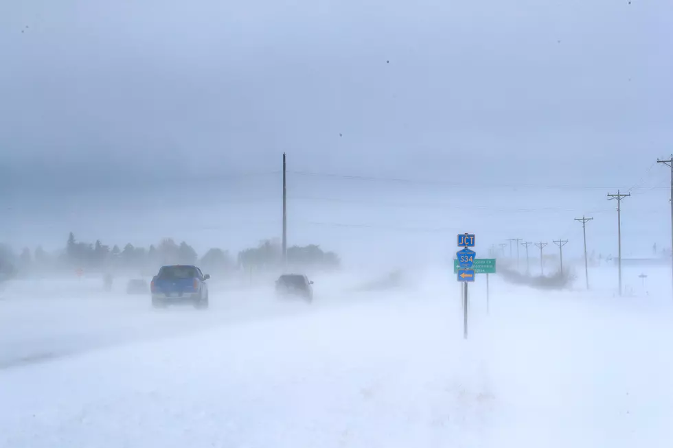
Snow, Subzero Temps, -30 Wind Chills Forecast Across SE Wyoming
Bitterly cold temperatures with highs not cracking the zero degrees mark, snowfall which could total 30 inches at higher elevations, and double-digit wind chills that could plunge into the -30 range or colder dominate the weekend forecast for southeast Wyoming and the Nebraska Panhandle.
That's according to the Cheyenne Office of the National Weather Service, which posted this statement at 4 a.m. on February 12:
''A Winter Storm Warning is in effect for the Snowy and Sierra Madre Ranges through Sunday morning. Expect heavy snow with total accumulations of 24 to 30 inches. Winds will gust up to 40 mph, producing blowing snow and reduced visibilities. Winter Weather Advisories are in effect for much of southeast Wyoming and the Nebraska Panhandle until 5 PM Saturday, except for the North Snowy Range Foothills which is in effect until 8 PM this evening. Snowfall will total 2 to 6 inches. Wind Chill Advisories are in effect for much of southeast Wyoming and the Nebraska Panhandle through Monday morning for wind chill temperatures as cold as 30 degrees below zero."

The Hottest and Coldest Days in Wyoming
More From 101.9 KING-FM