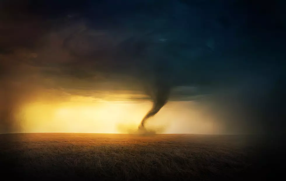
Tornado Watch For Cheyenne Area Until 8 PM Sunday
The National Weather Service has issued a Tornado Watch in effect until 8:00 PM (May 23) for counties in eastern Wyoming including Goshen, Laramie, and Niobrara counties in Wyoming and the city of Cheyenne. The Watch also includes parts of Colorado and the Nebraska Panhandle.
What is a tornado watch?
A Tornado Watch means conditions are favorable for tornadoes and severe thunderstorms in and close to the watch area. Persons in these areas should be on the lookout for threatening weather conditions and listen for later statements and possible warnings.

Get our free mobile app
   URGENT - IMMEDIATE BROADCAST REQUESTED
   Tornado Watch Number 196
   NWS Storm Prediction Center Norman OK
   1205 PM MDT Sun May 23 2021

   The NWS Storm Prediction Center has issued a

   * Tornado Watch for portions of
     Northeast/East-Central Colorado
     Northwest Kansas
     Western Nebraska
     Southeast Wyoming

   * Effective this Sunday afternoon and evening from 1205 PM until
     800 PM MDT.

   * Primary threats include...
     A few tornadoes possible
     Scattered large hail likely with isolated very large hail events
       to 3 inches in diameter possible
     Scattered damaging winds and isolated significant gusts to 75
       mph possible

   SUMMARY...Severe thunderstorms are expected to quickly develop
   through early/mid afternoon, initially along the Colorado/southeast
   Wyoming Front Range and immediately adjacent High Plains. Supercells
   capable of large hail and a few tornadoes can be expected as storms
   mature and quickly progress northeastward across the region.
   Damaging winds may also become an increasing risk by early evening.

   The tornado watch area is approximately along and 75 statute miles
   east and west of a line from 70 miles south southeast of Limon CO to
   15 miles north northwest of Chadron NE. For a complete depiction of
   the watch see the associated watch outline update (WOUS64 KWNS
   WOU6).

   PRECAUTIONARY/PREPAREDNESS ACTIONS...

   REMEMBER...A Tornado Watch means conditions are favorable for
   tornadoes and severe thunderstorms in and close to the watch
   area. Persons in these areas should be on the lookout for
   threatening weather conditions and listen for later statements
   and possible warnings.
KEEP READING: What to do after a tornado strikes
More From 101.9 KING-FM