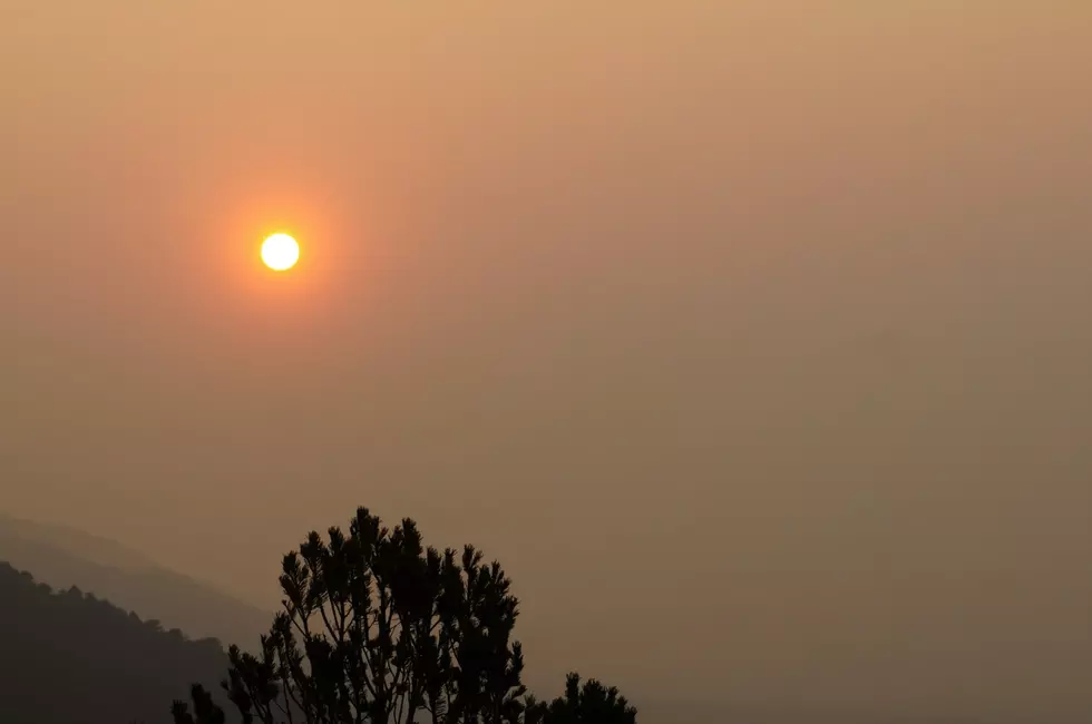
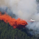
See Where Wildfires are Burning In Wyoming With This Map
In Wyoming and across the Mountain West, when the snow stops, the wildfires begin. Summer in the high country brings hot, dry, windy weather that can lead to huge burns and dangerous situations.
If you want to keep your eye on what's happening and where we found this cool map. It's from the folks at the Fire Weather and Avalanche Center. It shows where wildfires are burning in real-time.
Where Are Wildfires Burning In Wyoming?
The map offers a wealth of information in addition t the location of fires in Wyoming. You can see where lightning has struck. There is a lot of specific information about each fire incident like size and local weather conditions. There is even a list of fires currently burning.
Wildfires Burning in Colorado, and More
If you're interested in tracking fires burning in other parts of the county, the map will show all that info as well.

MORE WYOMING WILDFIRE:

- Getty/Thinkstock
- Getty/Thinkstock

- Getty/Thinkstock

- Getty/Thinkstock

- Getty/Thinkstock

- sbayramGetty/Thinkstock

- Getty/Thinkstock
Five Interesting Facts About Wildfires in Wyoming
- Wildfires generally kill and injure a relatively small percentage of the local animal population. Large mammals have the instinct to leave habitats before threatened. They can be, however, stressed by the situation. This explains the urban sighting of a mountain lion looking a bit irritated.
- While it's true most wildlife survive, fish can die. In limited instances where heat is close enough to bodies of water, the water loses its oxygen. If water levels are reduced when used to fight a fire, the problem is made only worse.
- Some fires can be left to burn in unpopulated areas where there is “beetle kill,” which just increases the chance of wildfire.
- Wildfires may be caused by lightning strikes and other natural occurrences, but estimations are that over 80 percent are direct results of human error. Campfires and cigarettes are still all too common.
- Firefighters have different classifications of wildfires, but a “Tornado Fire” often can’t even be fought. They’re rare but occur in fires that were on track to be contained. Superheated, dry air near the ground breaks through layers to shoot upward, at speeds up to 90 mph. Their wind directions are almost impossible to predict.
LOOK: The most expensive weather and climate disasters in recent decades
Gallery Credit: KATELYN LEBOFF
More From 101.9 KING-FM