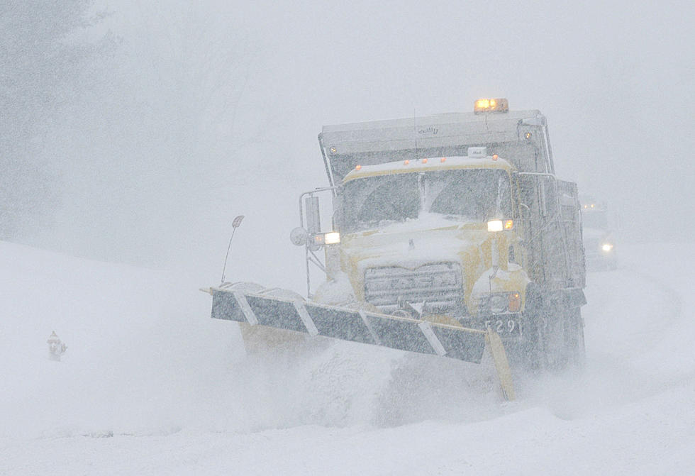
Incoming Snow Could Impact Travel Across Portions of Wyoming
Portions of central and southeast Wyoming, including Interstate 25, could see heavy snow Tuesday, which could make travel difficult.

3 PM 10/18 – Winter Storm Warnings and Advisories are in place for portions of central and southeast Wyoming for the incoming winter storm. Precipitation will begin as rain late tonight, transitioning to snow early Tuesday morning. Precipitation will move off northeast out of the area late Tuesday night.
"Travel impacts will increase Tuesday afternoon into Tuesday night, partially into the overnight hours Wednesday morning, and then end mid-Wednesday morning," the National Weather Service in Cheyenne said in an email late Monday afternoon.

"Overall accumulations will be in the higher terrain with limited to minor impacts overall," the agency added. "However, localized moderate impacts could occur under brief heavy snow bands across I-25 in Converse County and portions of Interstate 80 Tuesday evening into early Wednesday morning."

330 PM 10/18 – These images depict the likelihood of areas seeing greater than 2 inches (left) and 4 inches (right) of snow. Highest accumulations will be in the mountains and at higher elevations. For the most up-to-date forecast, refer to weather.gov/CYS
Drivers are encouraged to call 511 or go to wyoroad.info for the latest road conditions and closure information.
A Look Back At Cheyenne's Worst October Snow Storms
More From 101.9 KING-FM