New Map Shows What Wyoming Looked Like Millions Of Years Ago
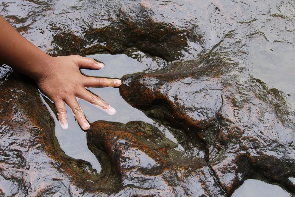
In the Cryogenian Period 750 million years ago, the land we now call Wyoming was buried under a glacier of ice.
With the help of a new interactive map, you can now see what the Cowboy State looked like through the ages. The ancient earth globe features 26 chronological illustrations from 750 million years ago up to the present.
For millions of years, Wyoming was underwater. It wasn't until Devonian Period 400 million years ago, the region emerged from the ocean and formed an island. 300 million years ago, in the Carboniferous age, Wyoming would have still been an island off the west coast of North America.
By the dawn of the early Triassic era 250 million years ago, most of the present-day United States was above water and the first ancestors of mammals and dinosaurs began to flourish. Dinosaurs continued to thrive throughout the region through the Jurrasic Period up to the Cretaceous era when a mass extinction occurred nearly 70 million years ago.
By the Tertiary era 35 million years ago, mammals began to evolve and thick forests of vegetation enveloped the land. Another 15 million years later ushered in the Neocene Period as animals and plant life continued to thrive. If you look at the map, the land we now call Wyoming hasn't changed very much in the last 50 million years.
It does you make you wonder what Wyoming will look like in another 50 million years.
More From 101.9 KING-FM


![Small Town Wyoming Bar Is Haunted By A Drunk Ghost Called ‘Candyman’ [VIDEO]](http://townsquare.media/site/98/files/2019/10/CANDYMAN.png?w=980&q=75)

